


SITE ANALYSIS KIT
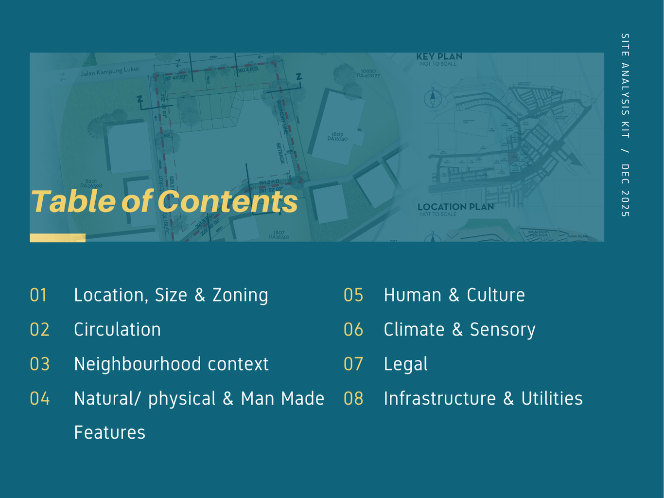
Section outline
-
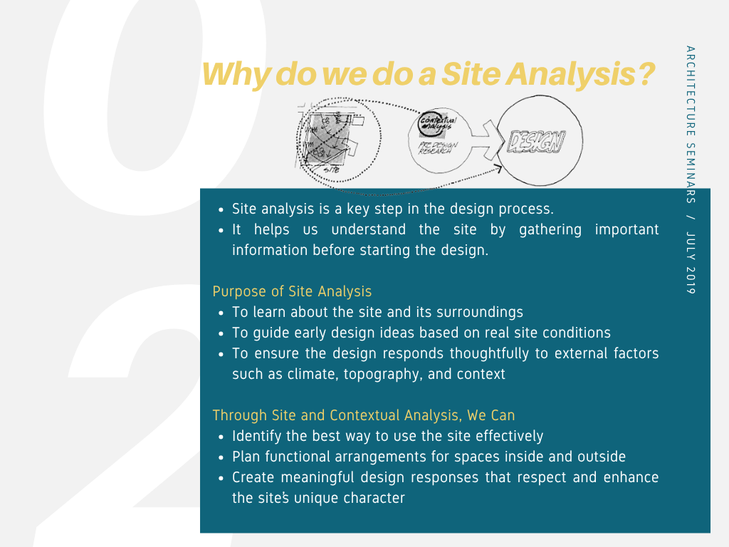
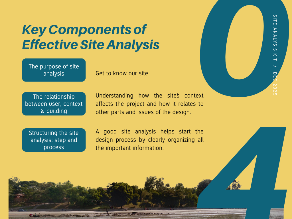
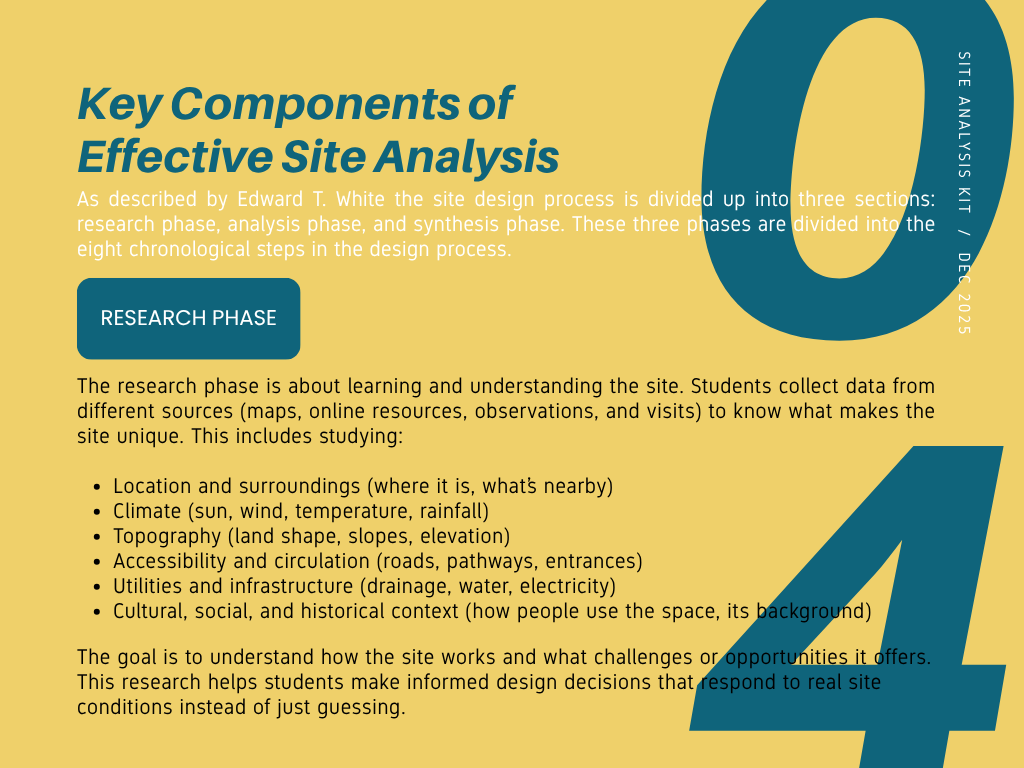
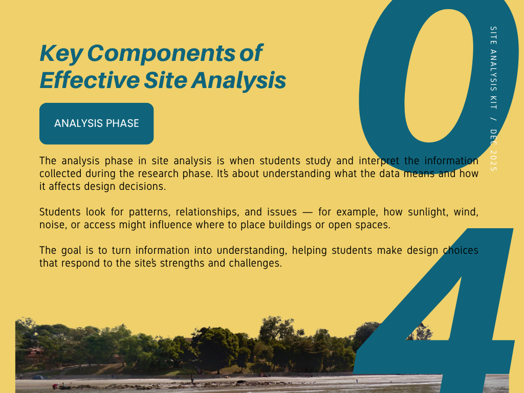
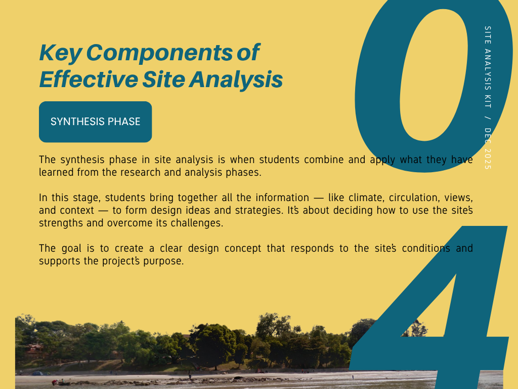
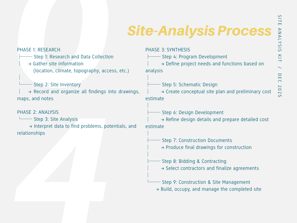
Many architecture students struggle with site analysis because they collect excessive or irrelevant data without a clear objective. This Site Analysis Kit is designed to guide learners through a focused, goal-oriented process for conducting effective site analysis.
-
-
Click the link provided to access the activity for this module. Follow the instructions carefully to complete the site analysis task. You will be guided through a series of steps to observe, collect, and interpret site information. Make sure to review all resources and examples provided in the link before submitting your work. This task is designed to help you apply your understanding of site analysis in a practical and interactive way.
Click the link below:
-
-
-
This link will show :
- How to Use the Sun Diagram Extension in SketchUp: A Step-by-Step Guide for 3D Sun Path and Shadow Analysis
- SunDiagram is a SketchUp extension designed to create 3D Sun paths and analyze sunlight for architectural projects.
- Generate a 3D Sun path by simply entering coordinates, with support for Daylight Saving Time adjustments.
- Simulate shadows & Sun positions based on selected time frames.
- Batch export shadow and Sun position images with a single click.
-
-
-
This video tutorial demonstrates the step-by-step process of plotting lot bearings in AutoCAD. You will learn how to input boundary data using bearing and distance information to accurately create site or land parcel layouts. The tutorial covers essential commands, coordinate input techniques, and tips for checking accuracy and alignment. By the end of this video, you will be able to plot lot boundaries precisely and prepare a professional site plan suitable for architectural or surveying work.
-
-
-
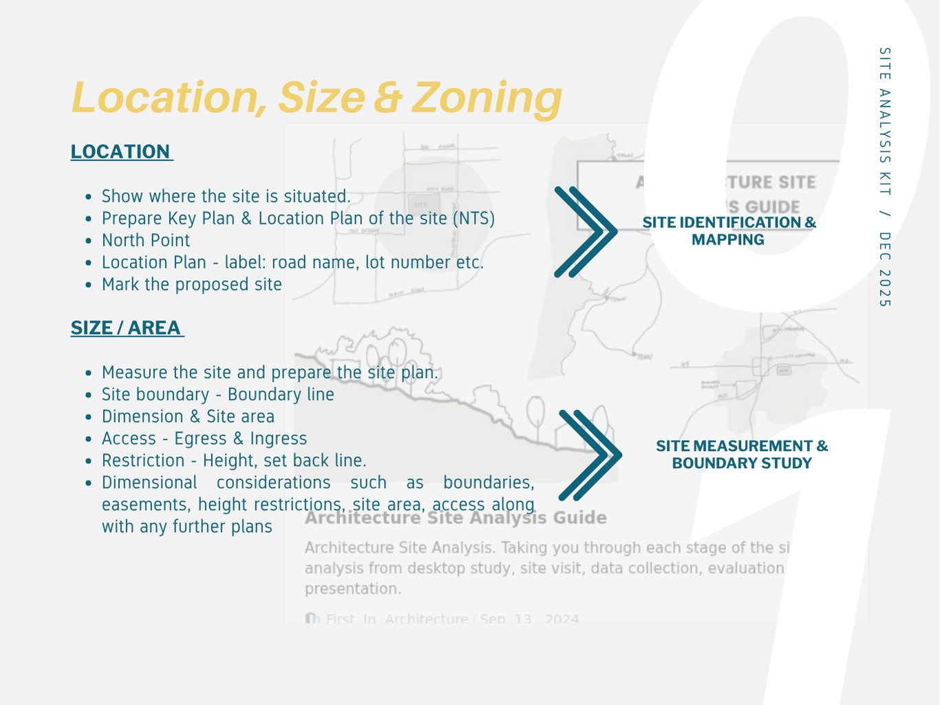
Before starting a design process, students must understand their site — its location, surroundings, rules, and natural features. This activity helps you explore your chosen site step by step and turn your findings into useful design ideas.You’ll look at key factors like where the site is, how big it is, what the land is used for, how people and vehicles move around, and what environmental features affect the site.By the end of this task, you should be able to collect and organize information, understand how different site factors affect design, and propose design ideas that respond to the site’s context.
Click the link below:
-
-
-
Opened: Thursday, 30 October 2025, 12:00 AMDue: Thursday, 6 November 2025, 12:00 AM
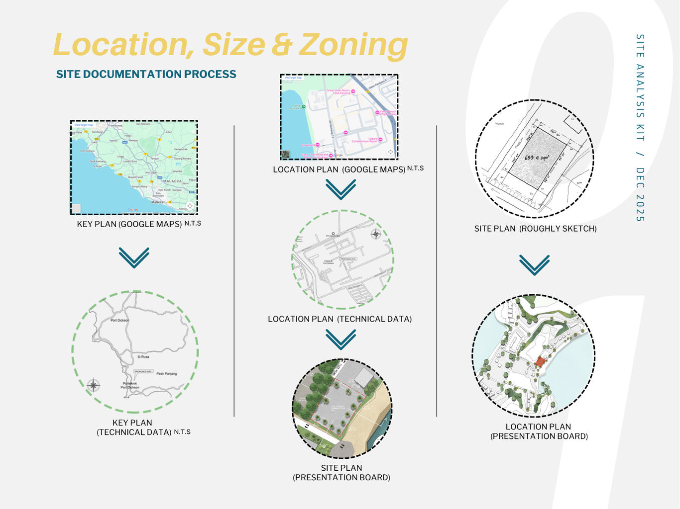
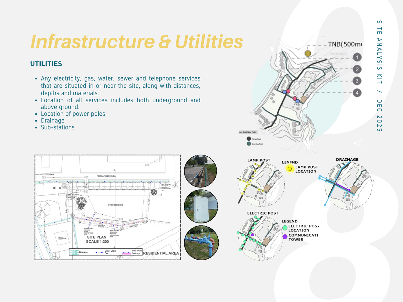
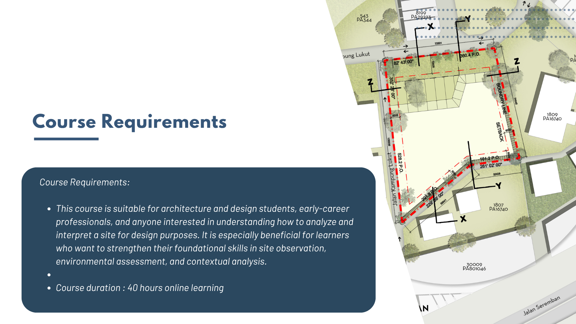
A site plan is a scaled, bird's-eye view drawing that shows a property and the placement of proposed and existing structures, as well as other features. It includes details like property boundaries, building footprints, driveways, landscaping, and utility connections, serving as a crucial tool for planning, construction, and obtaining permits.
-